
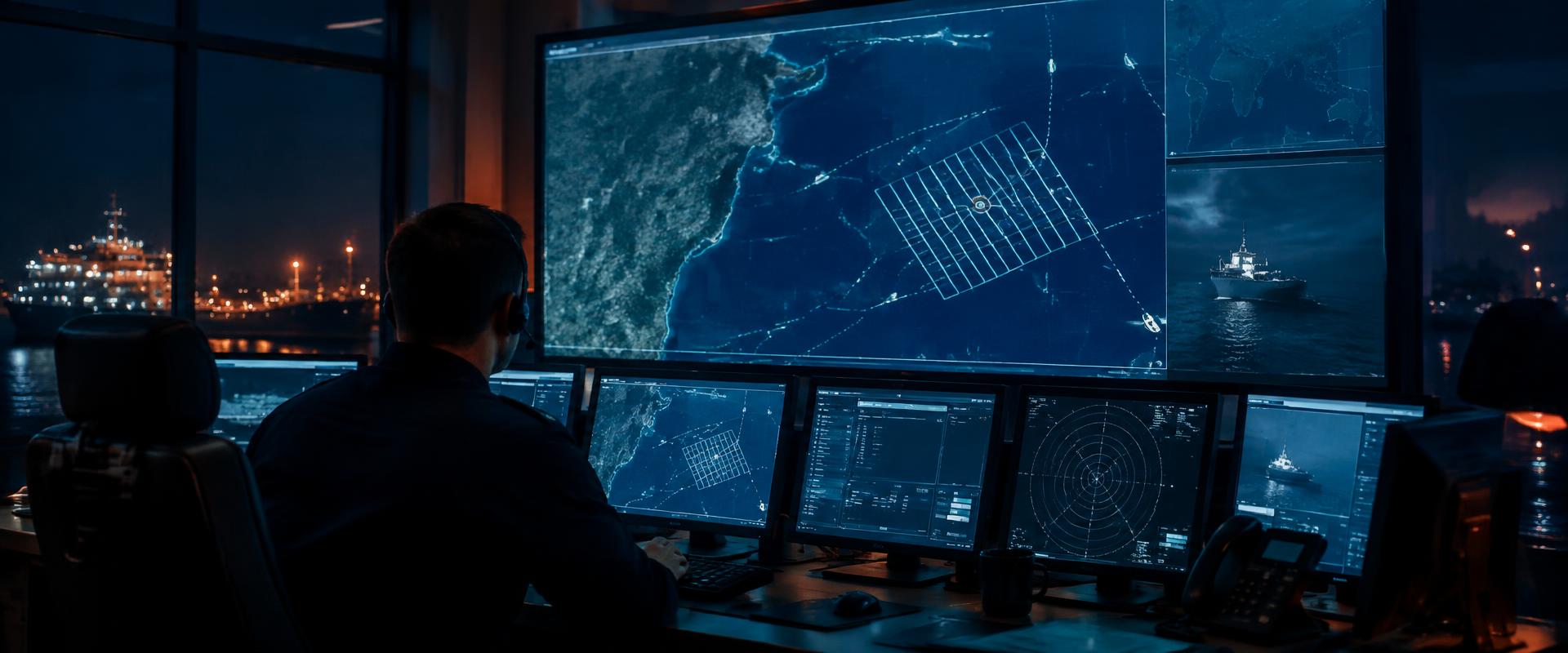
This simulator replays a maritime search and rescue incident end to end: distress beacon activation, satellite detection and relay through the ground segment, alerting of the rescue coordination centre, tasking and transit of search and rescue units, the search itself, rescue, conclusion and debrief.
The chart shows the datum drifting away from the last known position under wind and current, the computed search radius, and each unit running its assigned IAMSAR search pattern in real time. Take the seat of a unit commander (SRU), the On-Scene Coordinator, the SAR Mission Coordinator or the Mission Coordinator — each seat sees a different slice of the traffic.
For the lone or informal responder
Good Samaritan: the lone responder
You hear a Mayday on Ch 16 and nobody answers it. There is no lifeboat, no helicopter and no coastguard vessel within reach. A simplified decision-by-decision simulation for passers-by, local boaters and anyone who ends up acting as the de facto On-Scene Coordinator: acknowledge, get the position, relay it, log every time and fix, approach safely, recover, account for everybody, hand over.
Start the scenarioProfessional coordination scenarios
Build your own scenario
Start from a blank chart and build the incident yourself: choose the sea area anywhere in the world, place the last known position, set the weather, sea state and drift, add the units you want on task with their speeds and sweep widths, assign IAMSAR search patterns, then run the clock. Sandboxes are saved to your account so you can reopen and reuse them.
Join to build your ownKnowledge Resource LibraryKey publications behind these simulations — open them alongside the console.
Loading resources…
Training use and limitations
The planning maths follows the IAMSAR Manual method — drift from leeway and total water current, total probable error of position, search radius, corrected sweep width, coverage factor and probability of detection. It is a teaching model, not a planning tool: it is no substitute for your own authority's procedures, official planning software, or the current edition of the IAMSAR Manual.